Franklin Fire Company
Igniting the Spirit of Service for over 120 years!
Beyond the Flames
Our Upcoming Events
Experience the thrill of Franklin Fire Company’s Fundraisers! From BINGO to other community events!
Donate
Your generous donation ensures Franklin Fire Company continues to blaze a trail of safety and service.
History
Dive into the rich tapestry of Franklin Fire Company’s history.
Current Members Area
Sta4 Email and Website Access.
Order a Reflective Sign
Help aid in safety with a reflective address sign for your home.
Gear Up and See What We Do!
Latest Department News!

**Monday Night Drill**

Mega Ca$h is Back!

West Tampa Tobacco Company Comes to the Franklins!
2024 CVBA Mixer

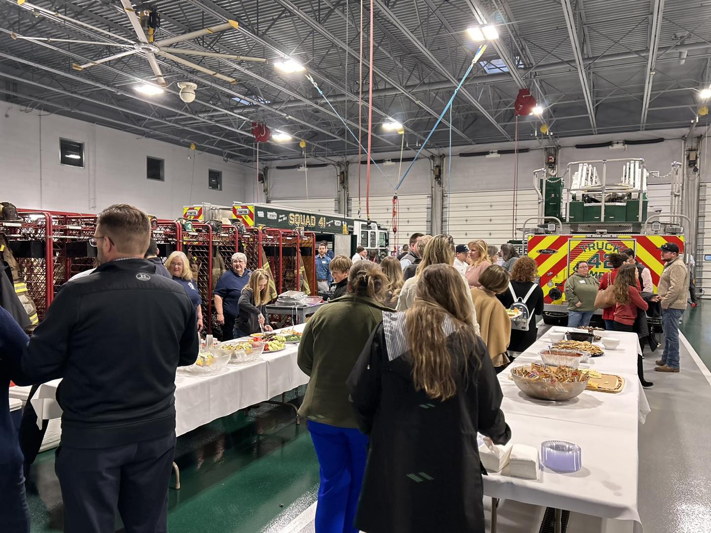
Students Shine in Service Project with Franklin Fire Company
Guardians of Safety
The Franklin Fire Company has a long and proud history of serving and protecting the citizens of Chambersburg and the surrounding areas. To continue our mission, we are continually working to improve our service and effectiveness. At Station 4, we extend an open invitation to those with a passion for making a difference. We are actively seeking individuals who share our values, embody commitment, and are driven to contribute to the greater good. If you feel the call to serve, whether as a firefighter or a volunteer, we encourage you to explore the opportunities within our ranks.
To learn more about the fulfilling journey of becoming a part of Franklin Fire Company and contributing to the safety and well-being of our community, reach out to us through direct message or make a personal visit to our station. Request a membership application, and together, let’s write the next chapter in our storied history of service and protection.
Years In Service
Residents Protected
Safeguarding Lives and Property with Dedication
The Franklin Fire Company, Station 4 of Chambersburg, is dedicated to protecting life and property of the citizens and communities we serve, by providing fire safety, safety education, and fire prevention programs, as well as providing the mitigation of fire, medical, and related emergencies. These services are provided by professionally trained personnel, using teamwork and the resources provided by the community.
The goal of the Franklin Fire Company is to minimize loss of life and property for the communities in our coverage areas, which includes parts of Hamilton Township; Greene Township; Guilford Township; Letterkenny Townships; and the Borough of Chambersburg;, as well as assisting mutual aid area, from fires, natural disasters, life-threatening situations and to assist other emergency agencies.
The objective of the Franklin Fire Company is to perform these services in an efficient manner by maintaining effective fire prevention, emergency response, fire suppression and training.
Franklin Fire Company, Station 4
(717) 263-8600
Join our Department!
Discover your passion for community service and safety – choose your role as a firefighter, youth member, fire police, or non-operational member, and join the proud tradition of Franklin Fire Company.
Firefighters
We are always looking to take new firefighters into the organization. Operational firefighters can be broken down into two categories; interior firefighters and exterior firefighters. Interior firefighters enter hazardous environments in order to mitigate the emergency. Some examples would be a house fire, building fire, carbon monoxide emergencies and various other hazardous situations. Exterior firefighters operate outside of the hazardous structure and/or hazardous environment. Some of the duties exterior firefighters perform include but are not limited to: setting up ladders, helping with hose lines, and retrieving tools from the apparatus.
Click here to download a printable membership application.
Note: Membership applications are not complete without payment of the $10.00 application fee.
Drop off your paper application at:
Franklin Fire Company
158 West King Street
Chambersburg, PA 17201
Junior Members
Junior members are operational members ages 14-17. After the junior member completes the proper training required, he or she may then ride on apparatus to the scene of emergencies. Junior members are not allowed to enter any hazardous structure until the scene has been deemed safe by the Incident Commander. Junior members serve a vital part on the fireground and around the firehouse. Not only will junior members learn how to be a firefighter, but they also complete essential tasks at the scene of emergencies. Junior members are the future of our organization.
Click here to download a printable membership application.
Note: Junior Members do not have to pay the $10.00 application fee.
Drop off your paper application at:
Franklin Fire Company
158 West King Street
Chambersburg, PA 17201
Live-In Program
The Franklin Fire Company has a live-in program for both male and female firefighters. The male bunkroom has 18 beds and the separate female bunkroom has 5 beds. Both bunkrooms have private showers and a locker room with your own personal locker(s). Free Wi-Fi, computer access, and cable. Access to a full kitchen, dining area, lounge, and gym.
Requirements to be a live-in:
- Must be an active member of the Franklin Fire Company
- You must stay at the firehouse 4 nights a week
- Assist with weekly cleaning
- Respond on calls while on station
- Age 18+
Click here to download a printable membership application.
Note: Membership applications are not complete without payment of the $10.00 application fee.
Drop off your paper application at:
Franklin Fire Company
158 West King Street
Chambersburg, PA 17201
Fire Police
Our Fire Police keep our firefighters safe from traffic while we operate on the scene of an emergency. Fire Police close the roadway down and/or re-direct traffic away from the incident scene to ensure our safety. Fire Police work in conjunction with local Police Departments to manage traffic at the scene of emergencies.
Click here to download a printable membership application.
Note: Membership applications are not complete without payment of the $10.00 application fee.
Drop off your paper application at:
Franklin Fire Company
158 West King Street
Chambersburg, PA 17201
Non-Operational Members
Non-Operational Members help out with fundraising, administrative tasks and community events, which may include bingos, gun drawings or helping with fire prevention activities at schools. This group consists of members who do not ride on the fire trucks or respond on emergencies but are just as vital to our organization as the firefighters. We are always looking for people to help us with fundraising, because without fundraising, there are no fire trucks on the street.
Click here to download a printable membership application.
Note: Membership applications are not complete without payment of the $10.00 application fee.
Drop off your paper application at:
Franklin Fire Company
158 West King Street
Chambersburg, PA 17201

Testimonials
“The Franklin Fire Company Jr. Member program has helped me in many ways other than just becoming a fireman; but making me into a leader and someone people can look up to in their community. It’s helped me attain a level of responsibility through duties around the station and while on calls. I’ve made some of the best brothers and friends being a member at Station 4. I am truly lucky to be a part of this department.”
Dylan Panfili
Jr. Member at Franklin Fire Company
“I basically grew up at the Franklins with my dad who was a member. I love the atmosphere here, great group guys and a lot of knowledge to learn from them! The Franklin Fire company is very aggressive in their tactics and well-disciplined with the members of the department when it comes to training for the future.”
Matthew Bigler
Officer at Franklin Fire Company
Contact Us